Mount Noddy, Ansty
Introduction
The photograph on this page of Mount Noddy, Ansty by Simon Carey as part of the Geograph project.
The Geograph project started in 2005 with the aim of publishing, organising and preserving representative images for every square kilometre of Great Britain, Ireland and the Isle of Man.

There are currently over 7.5m images from over 14,400 individuals and you can help contribute to the project by visiting https://www.geograph.org.uk
Mount Noddy, Ansty
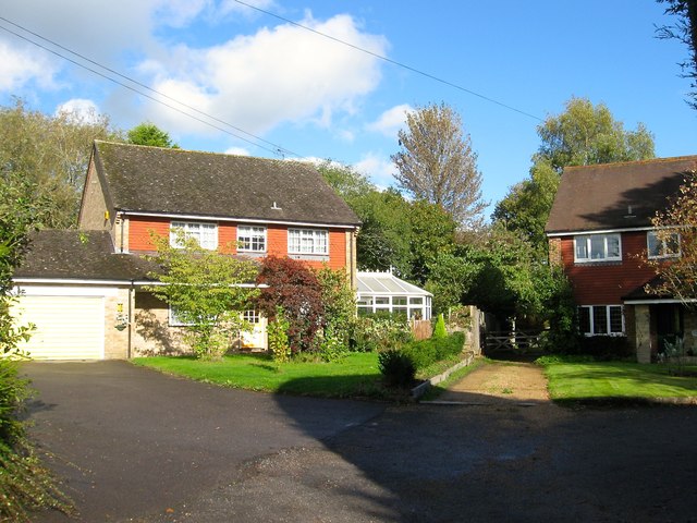
Image: © Simon Carey Taken: 11 Oct 2014
Small cul de sac off Cuckfield Road containing three dwellings built sometime during the 1970s. Named after the old cottage to the immediate south.
Images are licensed for reuse under creativecommons.org/licenses/by-sa/2.0
Image Location
Latitude
50.992535
Longitude
-0.160405