East Blackhall Street
Introduction
The photograph on this page of East Blackhall Street by Thomas Nugent as part of the Geograph project.
The Geograph project started in 2005 with the aim of publishing, organising and preserving representative images for every square kilometre of Great Britain, Ireland and the Isle of Man.

There are currently over 7.5m images from over 14,400 individuals and you can help contribute to the project by visiting https://www.geograph.org.uk
East Blackhall Street
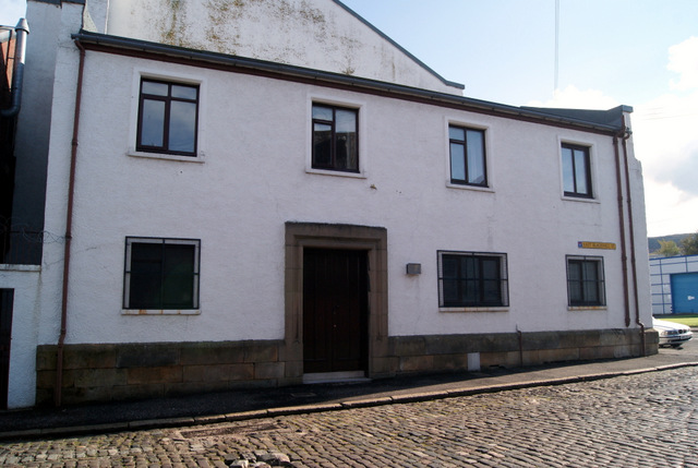
Image: © Thomas Nugent Taken: 7 Oct 2014
A building at the junction with Carnock Street. Possibly the manse of the adjacent St Andrew's Church Image
Images are licensed for reuse under creativecommons.org/licenses/by-sa/2.0
Image Location
Latitude
55.94383
Longitude
-4.747722