Caterham: War Coppice Lane.
Introduction
The photograph on this page of Caterham: War Coppice Lane. by Dr Neil Clifton as part of the Geograph project.
The Geograph project started in 2005 with the aim of publishing, organising and preserving representative images for every square kilometre of Great Britain, Ireland and the Isle of Man.

There are currently over 7.5m images from over 14,400 individuals and you can help contribute to the project by visiting https://www.geograph.org.uk
Caterham: War Coppice Lane.
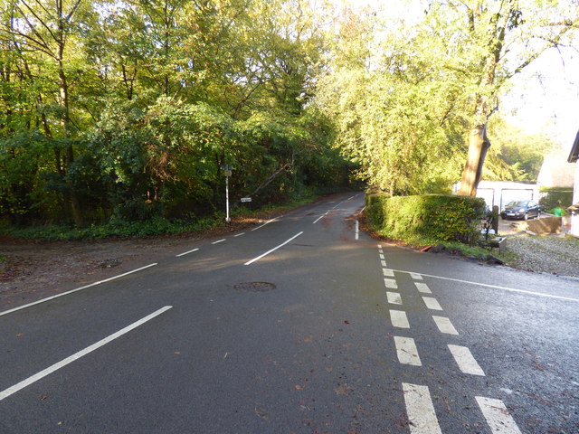
Image: © Dr Neil Clifton Taken: 11 Oct 2014
Looking west. Weald Way is to the right, and Hextalls Lane, a narrow but metalled lane, leads off to the left.
Images are licensed for reuse under creativecommons.org/licenses/by-sa/2.0
Image Location
Latitude
51.263571
Longitude
-0.092126