Former Kingston shipyard
Introduction
The photograph on this page of Former Kingston shipyard by Thomas Nugent as part of the Geograph project.
The Geograph project started in 2005 with the aim of publishing, organising and preserving representative images for every square kilometre of Great Britain, Ireland and the Isle of Man.

There are currently over 7.5m images from over 14,400 individuals and you can help contribute to the project by visiting https://www.geograph.org.uk
Former Kingston shipyard
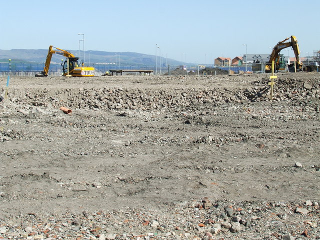
Image: © Thomas Nugent Taken: 30 Apr 2007
Now being developed for housing. Dumbarton Rock and the Kilpatrick Hills in the distance were hidden from view from this point by shipyard buildings for almost 200 years and will soon be obscured again by housing.
Images are licensed for reuse under creativecommons.org/licenses/by-sa/2.0
Image Location


Leaflet Map data © OpenStreetMap
Latitude
55.938879
Longitude
-4.707494