Heol Adare bungalows in Tondu
Introduction
The photograph on this page of Heol Adare bungalows in Tondu by Jaggery as part of the Geograph project.
The Geograph project started in 2005 with the aim of publishing, organising and preserving representative images for every square kilometre of Great Britain, Ireland and the Isle of Man.

There are currently over 7.5m images from over 14,400 individuals and you can help contribute to the project by visiting https://www.geograph.org.uk
Heol Adare bungalows in Tondu
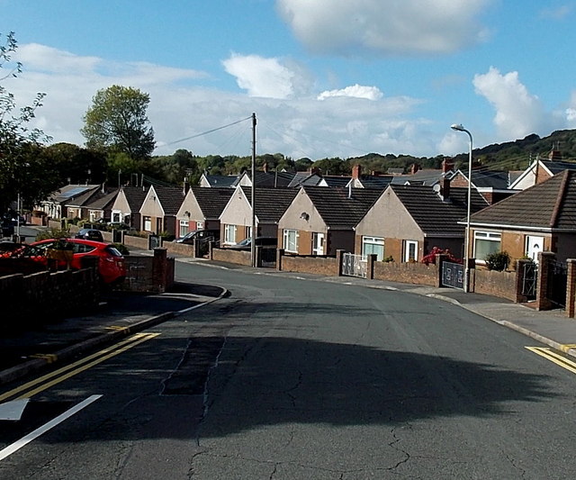
Image: © Jaggery Taken: 10 Oct 2014
Heol Adare is a street on the west side of Heol-yr-ysgol.
Images are licensed for reuse under creativecommons.org/licenses/by-sa/2.0
Image Location
Latitude
51.546894
Longitude
-3.590197