Hawthorn Drive
Introduction
The photograph on this page of Hawthorn Drive by Mary and Angus Hogg as part of the Geograph project.
The Geograph project started in 2005 with the aim of publishing, organising and preserving representative images for every square kilometre of Great Britain, Ireland and the Isle of Man.

There are currently over 7.5m images from over 14,400 individuals and you can help contribute to the project by visiting https://www.geograph.org.uk
Hawthorn Drive
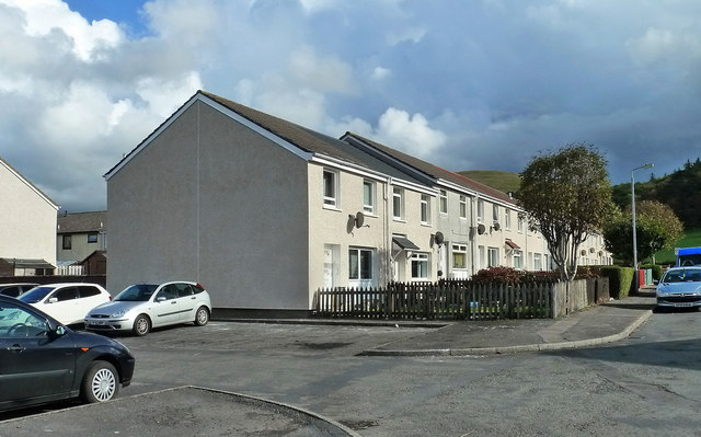
Image: © Mary and Angus Hogg Taken: 10 Oct 2014
Local authority housing area on the outskirts of Girvan. These houses have good views of the hills to the east and Ailsa Craig to the west.
Images are licensed for reuse under creativecommons.org/licenses/by-sa/2.0
Image Location
Latitude
55.22974
Longitude
-4.853488