Ilkley's former Drill Hall, rear elevation
Introduction
The photograph on this page of Ilkley's former Drill Hall, rear elevation by Christine Johnstone as part of the Geograph project.
The Geograph project started in 2005 with the aim of publishing, organising and preserving representative images for every square kilometre of Great Britain, Ireland and the Isle of Man.

There are currently over 7.5m images from over 14,400 individuals and you can help contribute to the project by visiting https://www.geograph.org.uk
Ilkley's former Drill Hall, rear elevation
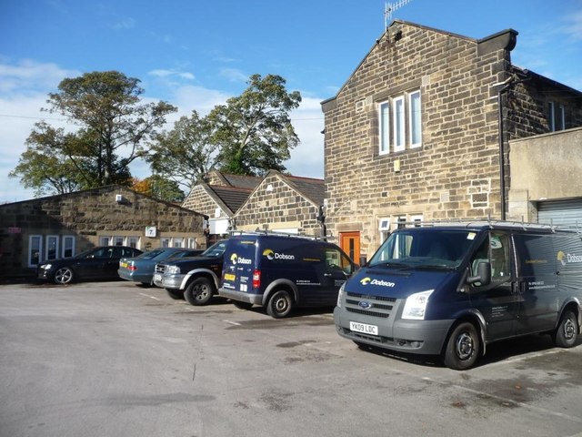
Image: © Christine Johnstone Taken: 10 Oct 2014
According to Ilkley Civic Society's blue plaque, the Drill Hall was built in 1911 for the Territorials 4th West Riding Howitzer Brigade. It was the Home Guards' HQ in the Second World War and became a business centre in 1991.
Images are licensed for reuse under creativecommons.org/licenses/by-sa/2.0
Image Location
Latitude
53.928171
Longitude
-1.817368