Clayworth from the canal
Introduction
The photograph on this page of Clayworth from the canal by Alan Murray-Rust as part of the Geograph project.
The Geograph project started in 2005 with the aim of publishing, organising and preserving representative images for every square kilometre of Great Britain, Ireland and the Isle of Man.

There are currently over 7.5m images from over 14,400 individuals and you can help contribute to the project by visiting https://www.geograph.org.uk
Clayworth from the canal
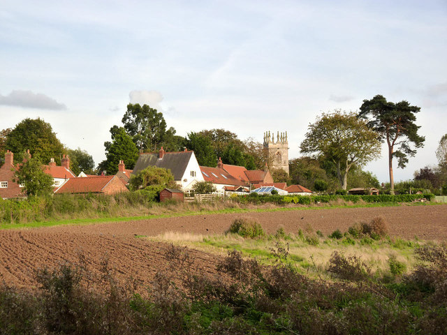
Image: © Alan Murray-Rust Taken: 5 Oct 2014
The northern end of the village, with the church tower, seen from the Chesterfield Canal towpath, the Cuckoo Way.
Images are licensed for reuse under creativecommons.org/licenses/by-sa/2.0
Image Location


Leaflet Map data © OpenStreetMap
Latitude
53.38783
Longitude
-0.910924