Roadworks, Livermead
Introduction
The photograph on this page of Roadworks, Livermead by Derek Harper as part of the Geograph project.
The Geograph project started in 2005 with the aim of publishing, organising and preserving representative images for every square kilometre of Great Britain, Ireland and the Isle of Man.

There are currently over 7.5m images from over 14,400 individuals and you can help contribute to the project by visiting https://www.geograph.org.uk
Roadworks, Livermead
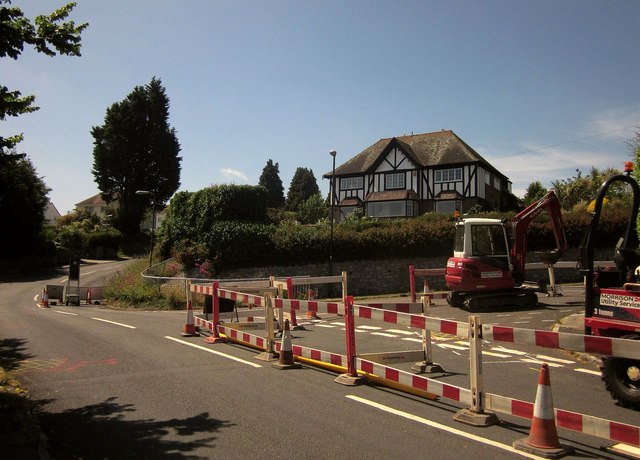
Image: © Derek Harper Taken: 18 Jun 2014
Barnfield Road (right) meets Broadpark Road. As Image, taken three month later, suggests, roadworks seem a perpetual feature of this residential area in 2014.
Images are licensed for reuse under creativecommons.org/licenses/by-sa/2.0
Image Location
Latitude
50.454932
Longitude
-3.553005