Filford, The End of the Road
Introduction
The photograph on this page of Filford, The End of the Road by Nigel Mykura as part of the Geograph project.
The Geograph project started in 2005 with the aim of publishing, organising and preserving representative images for every square kilometre of Great Britain, Ireland and the Isle of Man.

There are currently over 7.5m images from over 14,400 individuals and you can help contribute to the project by visiting https://www.geograph.org.uk
Filford, The End of the Road
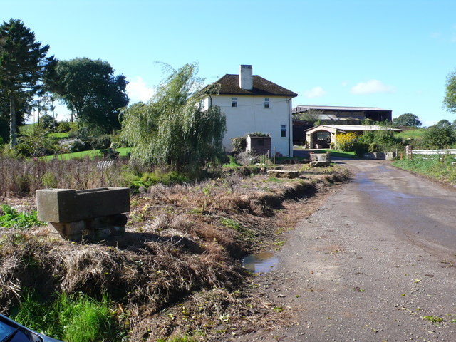
Image: © Nigel Mykura Taken: 4 Oct 2014
This is one of the few houses at this small rural settlement which is at the end of a minor road which descends in to this valley down a steep hill from South Bowood.
Images are licensed for reuse under creativecommons.org/licenses/by-sa/2.0
Image Location
Latitude
50.774278
Longitude
-2.795