Path through Hanger Hill Wood
Introduction
The photograph on this page of Path through Hanger Hill Wood by Marathon as part of the Geograph project.
The Geograph project started in 2005 with the aim of publishing, organising and preserving representative images for every square kilometre of Great Britain, Ireland and the Isle of Man.

There are currently over 7.5m images from over 14,400 individuals and you can help contribute to the project by visiting https://www.geograph.org.uk
Path through Hanger Hill Wood
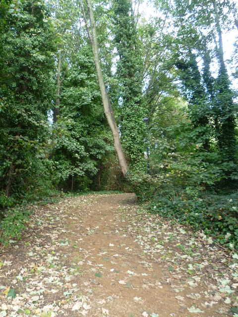
Image: © Marathon Taken: 8 Oct 2014
Hanger Hill Wood is a small remnant of woodland to the east of the North Circular Road at Hanger Lane. The much larger Hanger Hill Park is on the other side of Hanger Lane - see http://www.geograph.org.uk/photo/4197978
Images are licensed for reuse under creativecommons.org/licenses/by-sa/2.0
Image Location
Latitude
51.524558
Longitude
-0.291703