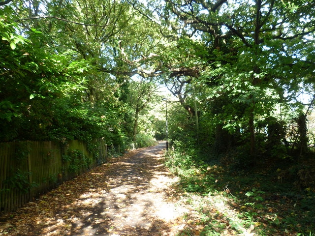
Fox Lane, Hanger Hill
Introduction
The photograph on this page of Fox Lane, Hanger Hill by Marathon as part of the Geograph project.
The Geograph project started in 2005 with the aim of publishing, organising and preserving representative images for every square kilometre of Great Britain, Ireland and the Isle of Man.
There are currently over 7.5m images from over 14,400 individuals and you can help contribute to the project by visiting https://www.geograph.org.uk

Image: © Marathon Taken: 8 Oct 2014
Fox Lane is actually a path through Hanger Hill Park. It is seen here from Hillcrest Road. The main part of the park is to the right while section which is the nature reserve is to the left. The park and golf course at Hanger Hill Park were purchased in three stages. In 1906 the area adjacent to Hillcrest Road was bought from Charles Peevor Boileau Wood D.S.O., a Major in the Third Battalion Royal Scots. Later in 1920, land adjacent to Hanger Lane was purchased from Charles, now a Lieutenant Colonel, to extend the park. The golf course was bought in 1931 from Ardsley Estates Limited to complete the park seen today.
Image Location


