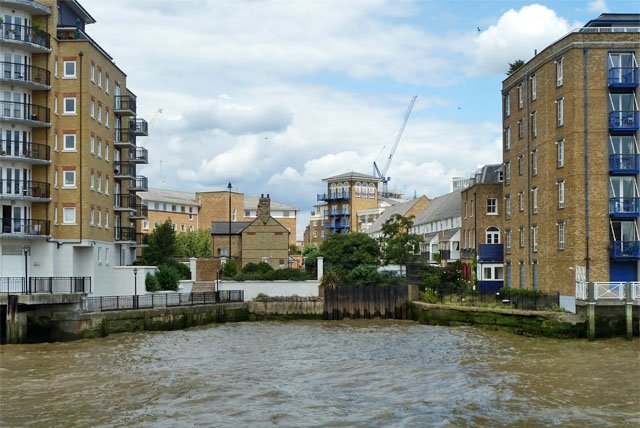
Former entrance to Limehouse Cut
Introduction
The photograph on this page of Former entrance to Limehouse Cut by Robin Webster as part of the Geograph project.
The Geograph project started in 2005 with the aim of publishing, organising and preserving representative images for every square kilometre of Great Britain, Ireland and the Isle of Man.
There are currently over 7.5m images from over 14,400 individuals and you can help contribute to the project by visiting https://www.geograph.org.uk

Image: © Robin Webster Taken: 30 Jun 2011
The Limehouse Cut to the Lee Navigation preceded the Regent's Canal by many years. It consequently had a direct connection to the Thames. Some years after the Regent's Canal and Limehouse Basin were finished, a connection from the cut to the basin was made. Later 19th century enlargement of the basin eliminated this, and the Cut reverted to a direct connection to the Thames. This lasted until 1968, when the link to Limehouse Basin was re-established (on a new alignment) and the direct connection to the Thames closed and dammed off. Narrow Street crosses by a still existing fixed bridge just beyond the dam, and beyond this part of the abandoned portion is retained as a scenic amenity.

