Breck Road with Holy Trinity Church
Introduction
The photograph on this page of Breck Road with Holy Trinity Church by Sue Adair as part of the Geograph project.
The Geograph project started in 2005 with the aim of publishing, organising and preserving representative images for every square kilometre of Great Britain, Ireland and the Isle of Man.

There are currently over 7.5m images from over 14,400 individuals and you can help contribute to the project by visiting https://www.geograph.org.uk
Breck Road with Holy Trinity Church
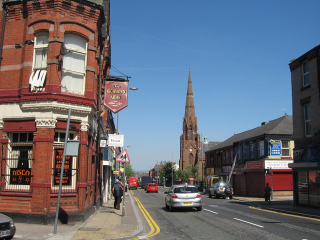
Image: © Sue Adair Taken: 1 May 2007
Breck Road with Holy Trinity Church to the right which was opened in 1847 and to the left, The Richmond Arms public house.
Images are licensed for reuse under creativecommons.org/licenses/by-sa/2.0
Image Location
Latitude
53.425944
Longitude
-2.951667