Loughinisland Road at its junction with Buck's Head Road
Introduction
The photograph on this page of Loughinisland Road at its junction with Buck's Head Road by Eric Jones as part of the Geograph project.
The Geograph project started in 2005 with the aim of publishing, organising and preserving representative images for every square kilometre of Great Britain, Ireland and the Isle of Man.

There are currently over 7.5m images from over 14,400 individuals and you can help contribute to the project by visiting https://www.geograph.org.uk
Loughinisland Road at its junction with Buck's Head Road
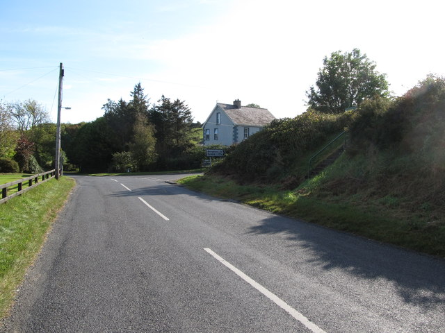
Image: © Eric Jones Taken: 2 Oct 2014
This is part of the staggered Annadorn Cross Roads. The steps on the right lead to the Annadorn Dolmen.
Images are licensed for reuse under creativecommons.org/licenses/by-sa/2.0
Image Location
Latitude
54.342148
Longitude
-5.803436