Stable Field
Introduction
The photograph on this page of Stable Field by Simon Carey as part of the Geograph project.
The Geograph project started in 2005 with the aim of publishing, organising and preserving representative images for every square kilometre of Great Britain, Ireland and the Isle of Man.

There are currently over 7.5m images from over 14,400 individuals and you can help contribute to the project by visiting https://www.geograph.org.uk
Stable Field
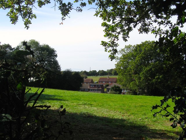
Image: © Simon Carey Taken: 5 Oct 2014
The name of the field according to Bolney's 1842 tithe map viewed from the footpath that links Ryecroft Road to the church. At the foot of the slope are cottages straddling the main village street.
Images are licensed for reuse under creativecommons.org/licenses/by-sa/2.0
Image Location
Latitude
50.991133
Longitude
-0.203209