King & Queen Wharf
Introduction
The photograph on this page of King & Queen Wharf by Robin Webster as part of the Geograph project.
The Geograph project started in 2005 with the aim of publishing, organising and preserving representative images for every square kilometre of Great Britain, Ireland and the Isle of Man.

There are currently over 7.5m images from over 14,400 individuals and you can help contribute to the project by visiting https://www.geograph.org.uk
King & Queen Wharf
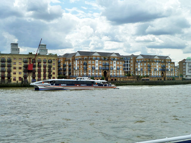
Image: © Robin Webster Taken: 30 Jun 2011
The modern flats to the right. The old building partially showing to the left is Globe Wharf, now also flats. Thames Clipper 9 'Tornado Clipper' is passing. These provide high speed 'river bus' transport on the river.
Images are licensed for reuse under creativecommons.org/licenses/by-sa/2.0
Image Location
Latitude
51.506925
Longitude
-0.043646