Bolney Wood
Introduction
The photograph on this page of Bolney Wood by Simon Carey as part of the Geograph project.
The Geograph project started in 2005 with the aim of publishing, organising and preserving representative images for every square kilometre of Great Britain, Ireland and the Isle of Man.

There are currently over 7.5m images from over 14,400 individuals and you can help contribute to the project by visiting https://www.geograph.org.uk
Bolney Wood
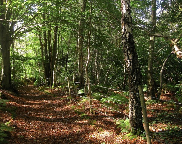
Image: © Simon Carey Taken: 5 Oct 2014
Following a section of the High Weald Landscape Trail as it heads through the wood from Bolney to Buncton Lane. Much of the wood is private and has been fenced off.
Images are licensed for reuse under creativecommons.org/licenses/by-sa/2.0
Image Location
Latitude
50.996608
Longitude
-0.190884