Oxted: Neb Lane
Introduction
The photograph on this page of Oxted: Neb Lane by Dr Neil Clifton as part of the Geograph project.
The Geograph project started in 2005 with the aim of publishing, organising and preserving representative images for every square kilometre of Great Britain, Ireland and the Isle of Man.

There are currently over 7.5m images from over 14,400 individuals and you can help contribute to the project by visiting https://www.geograph.org.uk
Oxted: Neb Lane
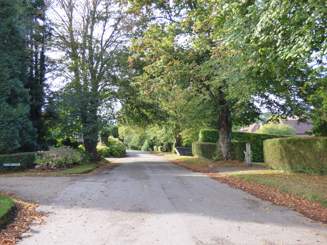
Image: © Dr Neil Clifton Taken: 7 Oct 2014
Looking west at the junction with Yew Tree Drive. Don't even think about buying a house along here unless you are seriously rich.
Images are licensed for reuse under creativecommons.org/licenses/by-sa/2.0
Image Location
Latitude
51.248829
Longitude
-0.01679