Godstone: Bridge taking Church Lane over Stratton Brook
Introduction
The photograph on this page of Godstone: Bridge taking Church Lane over Stratton Brook by Dr Neil Clifton as part of the Geograph project.
The Geograph project started in 2005 with the aim of publishing, organising and preserving representative images for every square kilometre of Great Britain, Ireland and the Isle of Man.

There are currently over 7.5m images from over 14,400 individuals and you can help contribute to the project by visiting https://www.geograph.org.uk
Godstone: Bridge taking Church Lane over Stratton Brook
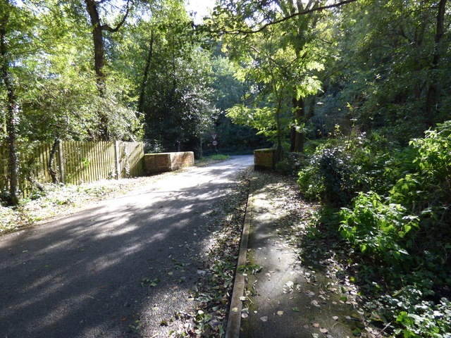
Image: © Dr Neil Clifton Taken: 7 Oct 2014
This is looking south at the southern end of Church Lane, just before its junction with the B2236, (which, until a few years ago, was the A22 here). The minor stream Stratton Brook, which is bridged here, runs into Leigh Place Pond and its waters eventually reach the Medway.
Images are licensed for reuse under creativecommons.org/licenses/by-sa/2.0
Image Location
Latitude
51.241047
Longitude
-0.056811