Path, Pamphry
Introduction
The photograph on this page of Path, Pamphry by Richard Webb as part of the Geograph project.
The Geograph project started in 2005 with the aim of publishing, organising and preserving representative images for every square kilometre of Great Britain, Ireland and the Isle of Man.

There are currently over 7.5m images from over 14,400 individuals and you can help contribute to the project by visiting https://www.geograph.org.uk
Path, Pamphry
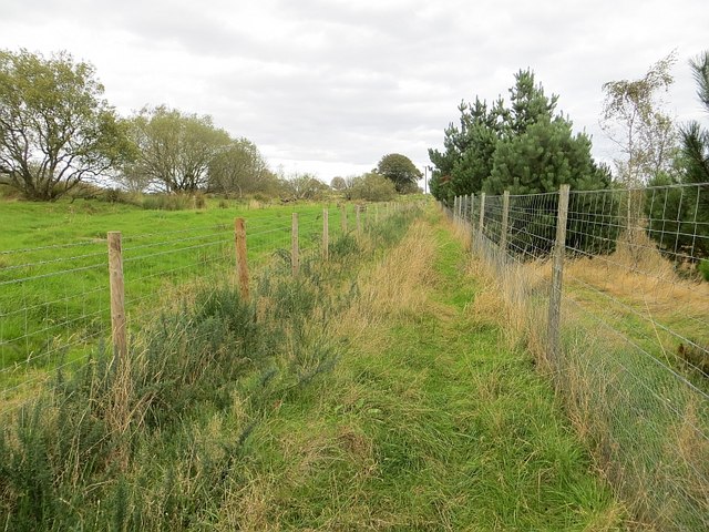
Image: © Richard Webb Taken: 27 Sep 2014
The western end of the path over Rossie Muir is now fenced in and rough. There is a realistic chance that it will become blocked by whins. The original track is visible on the left, behind the barbed wire.
Images are licensed for reuse under creativecommons.org/licenses/by-sa/2.0
Image Location
Latitude
56.665709
Longitude
-2.581287