Hook-a-gate
Introduction
The photograph on this page of Hook-a-gate by Andrew Bennett as part of the Geograph project.
The Geograph project started in 2005 with the aim of publishing, organising and preserving representative images for every square kilometre of Great Britain, Ireland and the Isle of Man.

There are currently over 7.5m images from over 14,400 individuals and you can help contribute to the project by visiting https://www.geograph.org.uk
Hook-a-gate
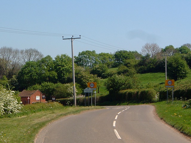
Image: © Andrew Bennett Taken: 1 May 2007
Southern end of village of Hook-a-gate. This grid square is almost entirely agricultural land.
Images are licensed for reuse under creativecommons.org/licenses/by-sa/2.0
Image Location
Latitude
52.675495
Longitude
-2.794617