Flats and houses, Kingsway, Teignmouth
Introduction
The photograph on this page of Flats and houses, Kingsway, Teignmouth by Robin Stott as part of the Geograph project.
The Geograph project started in 2005 with the aim of publishing, organising and preserving representative images for every square kilometre of Great Britain, Ireland and the Isle of Man.

There are currently over 7.5m images from over 14,400 individuals and you can help contribute to the project by visiting https://www.geograph.org.uk
Flats and houses, Kingsway, Teignmouth
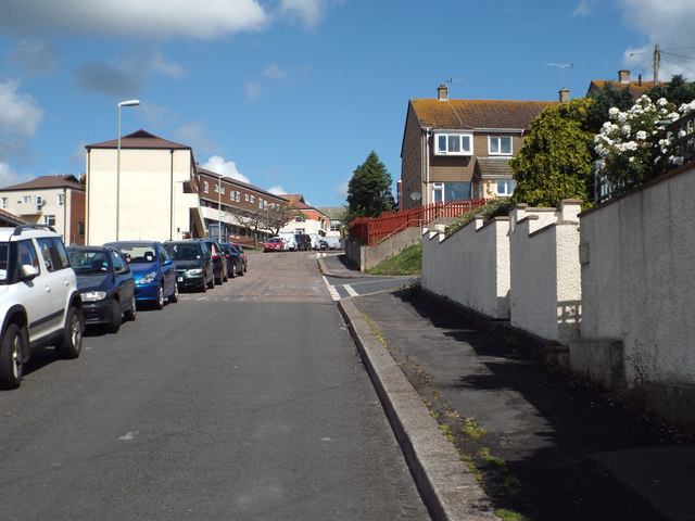
Image: © Robin Stott Taken: 8 Jul 2014
This area has seen a lot of change since the 1950s when the OS map showed a very uniform layout of short terraces as in Image The first turning on the right is Lower Kingsdown Road.
Images are licensed for reuse under creativecommons.org/licenses/by-sa/2.0
Image Location
Latitude
50.548968
Longitude
-3.514876