Houses and postbox, lower end of Kingsway, Teignmouth
Introduction
The photograph on this page of Houses and postbox, lower end of Kingsway, Teignmouth by Robin Stott as part of the Geograph project.
The Geograph project started in 2005 with the aim of publishing, organising and preserving representative images for every square kilometre of Great Britain, Ireland and the Isle of Man.

There are currently over 7.5m images from over 14,400 individuals and you can help contribute to the project by visiting https://www.geograph.org.uk
Houses and postbox, lower end of Kingsway, Teignmouth
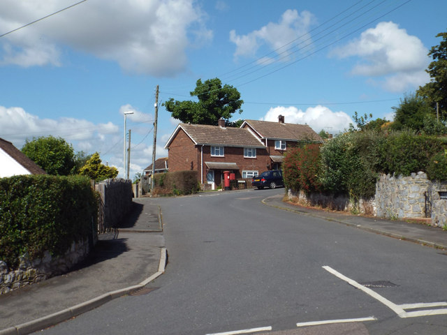
Image: © Robin Stott Taken: 8 Jul 2014
It looks as though Kingsway starts at the bend, so these are the first houses in that road. The house whose garden gate appears on the far right probably clings to an Inverteign Drive address: Kingsway is mostly council or former council housing. Postbox is no.TQ14 11.
Images are licensed for reuse under creativecommons.org/licenses/by-sa/2.0
Image Location
Latitude
50.546934
Longitude
-3.51227