Early houses in Inverteign Drive, Teignmouth
Introduction
The photograph on this page of Early houses in Inverteign Drive, Teignmouth by Robin Stott as part of the Geograph project.
The Geograph project started in 2005 with the aim of publishing, organising and preserving representative images for every square kilometre of Great Britain, Ireland and the Isle of Man.

There are currently over 7.5m images from over 14,400 individuals and you can help contribute to the project by visiting https://www.geograph.org.uk
Early houses in Inverteign Drive, Teignmouth
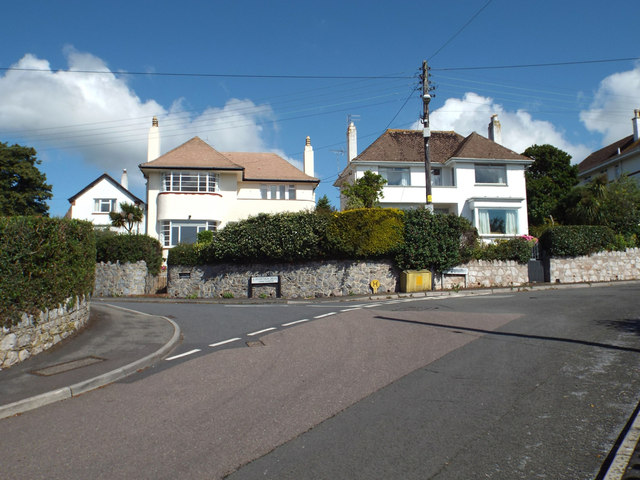
Image: © Robin Stott Taken: 8 Jul 2014
These houses first appear on the 1933-36 OS 1:2500 map, thus they are among the first to be built in Inverteign, as the road was originally called. A view from further back is Image
Images are licensed for reuse under creativecommons.org/licenses/by-sa/2.0
Image Location
Latitude
50.547123
Longitude
-3.511571