Planning Application site off Clay Lane, Teignmouth
Introduction
The photograph on this page of Planning Application site off Clay Lane, Teignmouth by Robin Stott as part of the Geograph project.
The Geograph project started in 2005 with the aim of publishing, organising and preserving representative images for every square kilometre of Great Britain, Ireland and the Isle of Man.

There are currently over 7.5m images from over 14,400 individuals and you can help contribute to the project by visiting https://www.geograph.org.uk
Planning Application site off Clay Lane, Teignmouth
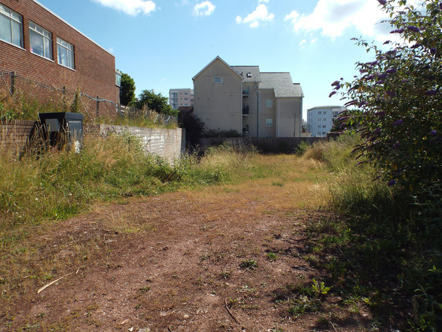
Image: © Robin Stott Taken: 8 Jul 2014
Proposal is for 20 apartments with parking and access: application ref 14/01918/MAJ. Photographed 8 July 2014. No decision had been made at the time of submitting photo, 6 October 2014. The adjoining site, the telephone exchange, left, is also the subject of a planning application.
Images are licensed for reuse under creativecommons.org/licenses/by-sa/2.0
Image Location
Latitude
50.547076
Longitude
-3.501266