The Black Lion, Bourne End
Introduction
The photograph on this page of The Black Lion, Bourne End by Bikeboy as part of the Geograph project.
The Geograph project started in 2005 with the aim of publishing, organising and preserving representative images for every square kilometre of Great Britain, Ireland and the Isle of Man.

There are currently over 7.5m images from over 14,400 individuals and you can help contribute to the project by visiting https://www.geograph.org.uk
The Black Lion, Bourne End
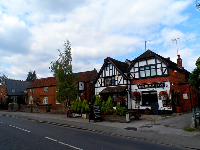
Image: © Bikeboy Taken: 21 Sep 2014
Next door but one (far left of the picture) appears to be a disused chapel converted into a house.
Images are licensed for reuse under creativecommons.org/licenses/by-sa/2.0
Image Location
Latitude
51.585048
Longitude
-0.720439