Seaford: housing estate off Sutton Avenue, 1989
Introduction
The photograph on this page of Seaford: housing estate off Sutton Avenue, 1989 by Ben Brooksbank as part of the Geograph project.
The Geograph project started in 2005 with the aim of publishing, organising and preserving representative images for every square kilometre of Great Britain, Ireland and the Isle of Man.

There are currently over 7.5m images from over 14,400 individuals and you can help contribute to the project by visiting https://www.geograph.org.uk
Seaford: housing estate off Sutton Avenue, 1989
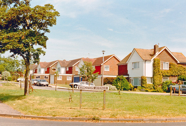
Image: © Ben Brooksbank Taken: 11 Jun 1989
View eastward, at Kingston Avenue, off Sutton Avenue approximately where Tyttenhanger Lodge Preparatory School used to be. (I was a pupil there 1936-40).
Images are licensed for reuse under creativecommons.org/licenses/by-sa/2.0
Image Location
Latitude
50.772145
Longitude
0.12325