Road name plate at the northern end of Woodgrange Road
Introduction
The photograph on this page of Road name plate at the northern end of Woodgrange Road by Eric Jones as part of the Geograph project.
The Geograph project started in 2005 with the aim of publishing, organising and preserving representative images for every square kilometre of Great Britain, Ireland and the Isle of Man.

There are currently over 7.5m images from over 14,400 individuals and you can help contribute to the project by visiting https://www.geograph.org.uk
Road name plate at the northern end of Woodgrange Road
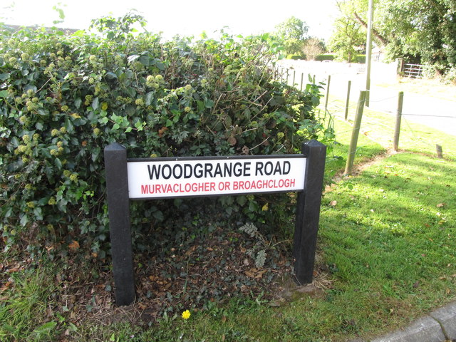
Image: © Eric Jones Taken: 2 Oct 2014
The red lettering on the sign shows the name of the townland i.e. Murvaclogher or Broaghclogh. This townland is within the parish of Kilmore
Images are licensed for reuse under creativecommons.org/licenses/by-sa/2.0
Image Location
Latitude
54.354413
Longitude
-5.786167