Japanese knotweed eradication, Dundonald (October 2014)
Introduction
The photograph on this page of Japanese knotweed eradication, Dundonald (October 2014) by Albert Bridge as part of the Geograph project.
The Geograph project started in 2005 with the aim of publishing, organising and preserving representative images for every square kilometre of Great Britain, Ireland and the Isle of Man.

There are currently over 7.5m images from over 14,400 individuals and you can help contribute to the project by visiting https://www.geograph.org.uk
Japanese knotweed eradication, Dundonald (October 2014)
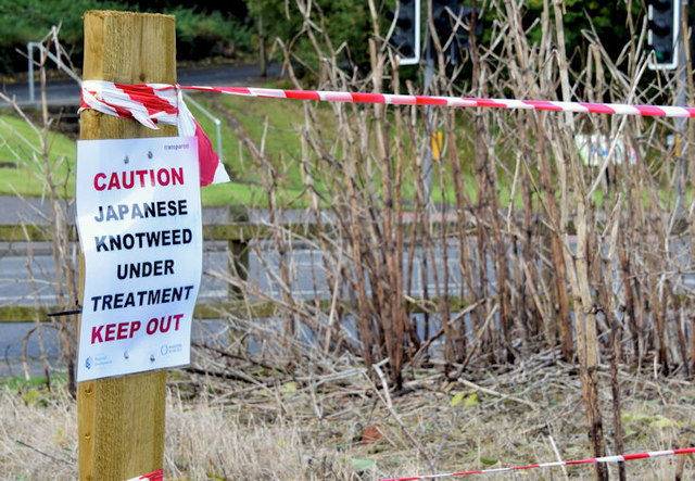
Image: © Albert Bridge Taken: 6 Oct 2014
An attempt, at the Comber Road end of the Comber Greenway, to eradicate the alien and invasive Japanese knotweed http://www.habitas.org.uk/flora/species.asp?item=3762.
Images are licensed for reuse under creativecommons.org/licenses/by-sa/2.0
Image Location
Latitude
54.586303
Longitude
-5.799595