Octagonal access cover, Dundonald
Introduction
The photograph on this page of Octagonal access cover, Dundonald by Albert Bridge as part of the Geograph project.
The Geograph project started in 2005 with the aim of publishing, organising and preserving representative images for every square kilometre of Great Britain, Ireland and the Isle of Man.

There are currently over 7.5m images from over 14,400 individuals and you can help contribute to the project by visiting https://www.geograph.org.uk
Octagonal access cover, Dundonald
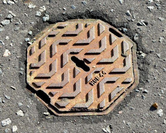
Image: © Albert Bridge Taken: 6 Oct 2014
A small octagonal access cover on the Grahamsbridge Road, opposite Millar’s Lane. No maker's name or purpose shown just “HCB 44”. Further information welcome.
Images are licensed for reuse under creativecommons.org/licenses/by-sa/2.0
Image Location
Latitude
54.586668
Longitude
-5.799885