Cuckfield Road
Introduction
The photograph on this page of Cuckfield Road by Simon Carey as part of the Geograph project.
The Geograph project started in 2005 with the aim of publishing, organising and preserving representative images for every square kilometre of Great Britain, Ireland and the Isle of Man.

There are currently over 7.5m images from over 14,400 individuals and you can help contribute to the project by visiting https://www.geograph.org.uk
Cuckfield Road
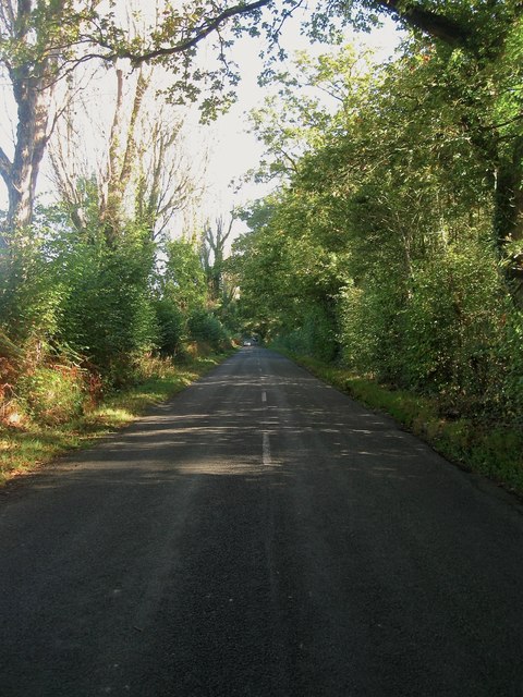
Image: © Simon Carey Taken: 5 Oct 2014
Built as a turnpike in the early 19th century as one of many alternative routes linking London to Brighton joining another to the north near the village of Ansty.
Images are licensed for reuse under creativecommons.org/licenses/by-sa/2.0
Image Location
Latitude
50.986201
Longitude
-0.163647