Hovel Field/Gate field
Introduction
The photograph on this page of Hovel Field/Gate field by Simon Carey as part of the Geograph project.
The Geograph project started in 2005 with the aim of publishing, organising and preserving representative images for every square kilometre of Great Britain, Ireland and the Isle of Man.

There are currently over 7.5m images from over 14,400 individuals and you can help contribute to the project by visiting https://www.geograph.org.uk
Hovel Field/Gate field
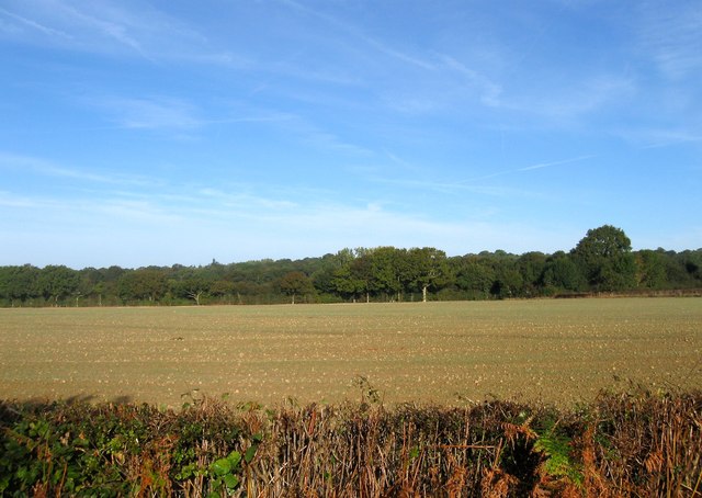
Image: © Simon Carey Taken: 5 Oct 2014
The name of the fields according to Cuckfield's 1842 tithe map that have been merged together along with Image to the south to form a larger unit. Gate Field was in the foreground adjacent to Bishopstone lane whilst Hovel Field was at the far eastern end. To the north of the current field is Image
Images are licensed for reuse under creativecommons.org/licenses/by-sa/2.0
Image Location
Latitude
50.981326
Longitude
-0.173955