Tolleys Leg (2)
Introduction
The photograph on this page of Tolleys Leg (2) by Simon Carey as part of the Geograph project.
The Geograph project started in 2005 with the aim of publishing, organising and preserving representative images for every square kilometre of Great Britain, Ireland and the Isle of Man.

There are currently over 7.5m images from over 14,400 individuals and you can help contribute to the project by visiting https://www.geograph.org.uk
Tolleys Leg (2)
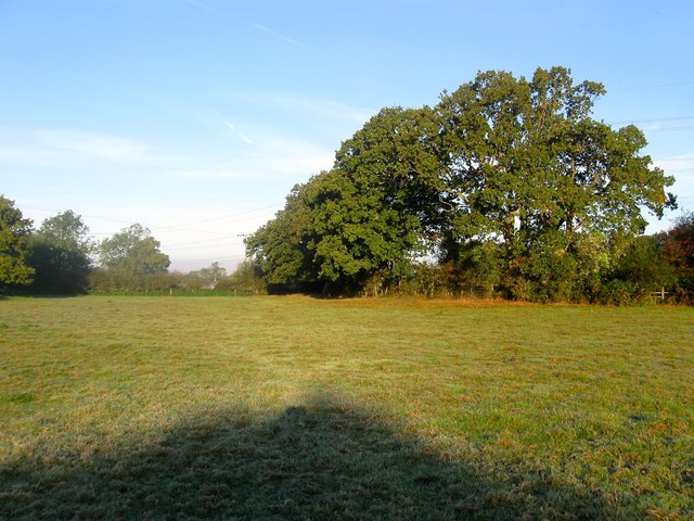
Image: © Simon Carey Taken: 5 Oct 2014
The name of the field according to Bolney's 1842 tithe map. This is the southern end of a long thin field that arcs around Image to the east. See also Image Beyond the trees to the right is Image whilst to the south is Image
Images are licensed for reuse under creativecommons.org/licenses/by-sa/2.0
Image Location
Latitude
50.975653
Longitude
-0.190843