Chaites Farm
Introduction
The photograph on this page of Chaites Farm by Simon Carey as part of the Geograph project.
The Geograph project started in 2005 with the aim of publishing, organising and preserving representative images for every square kilometre of Great Britain, Ireland and the Isle of Man.

There are currently over 7.5m images from over 14,400 individuals and you can help contribute to the project by visiting https://www.geograph.org.uk
Chaites Farm
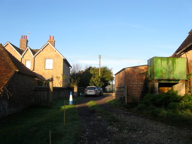
Image: © Simon Carey Taken: 5 Oct 2014
Called Little Hickstead Farm on the 1875 OS map but changes to its current name by the time of the second edition of 1897. See Image
Images are licensed for reuse under creativecommons.org/licenses/by-sa/2.0
Image Location
Latitude
50.977852
Longitude
-0.193465