Boundary of former industrial sites, northeast end of Parkway Road, Dudley
Introduction
The photograph on this page of Boundary of former industrial sites, northeast end of Parkway Road, Dudley by Robin Stott as part of the Geograph project.
The Geograph project started in 2005 with the aim of publishing, organising and preserving representative images for every square kilometre of Great Britain, Ireland and the Isle of Man.

There are currently over 7.5m images from over 14,400 individuals and you can help contribute to the project by visiting https://www.geograph.org.uk
Boundary of former industrial sites, northeast end of Parkway Road, Dudley
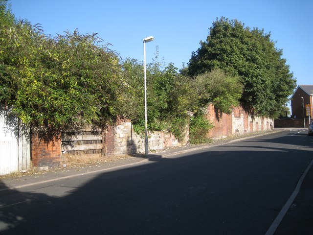
Image: © Robin Stott Taken: 29 Sep 2013
On OS 1:2500 maps the modern road pattern here is shown from 1903. These sites are marked as Glassworks, left, and Malthouse, right. By the map of 1963-4 both sites are marked as Works but they have plainly fallen derelict since.
Images are licensed for reuse under creativecommons.org/licenses/by-sa/2.0
Image Location
Latitude
52.51235
Longitude
-2.096323