Rear of former steading, Luncarty
Introduction
The photograph on this page of Rear of former steading, Luncarty by Richard Dorrell as part of the Geograph project.
The Geograph project started in 2005 with the aim of publishing, organising and preserving representative images for every square kilometre of Great Britain, Ireland and the Isle of Man.

There are currently over 7.5m images from over 14,400 individuals and you can help contribute to the project by visiting https://www.geograph.org.uk
Rear of former steading, Luncarty
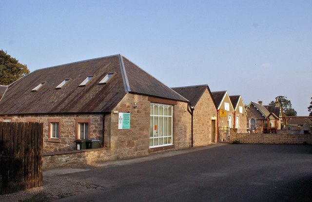
Image: © Richard Dorrell Taken: 21 Sep 2014
The nearer part of the original estate steading is now in use as a chapel, with the further part a children's nursery. See also: Image] and Image
Images are licensed for reuse under creativecommons.org/licenses/by-sa/2.0
Image Location
Latitude
56.448555
Longitude
-3.465033