Barnoldswick: Gisburn Road
Introduction
The photograph on this page of Barnoldswick: Gisburn Road by Dr Neil Clifton as part of the Geograph project.
The Geograph project started in 2005 with the aim of publishing, organising and preserving representative images for every square kilometre of Great Britain, Ireland and the Isle of Man.

There are currently over 7.5m images from over 14,400 individuals and you can help contribute to the project by visiting https://www.geograph.org.uk
Barnoldswick: Gisburn Road
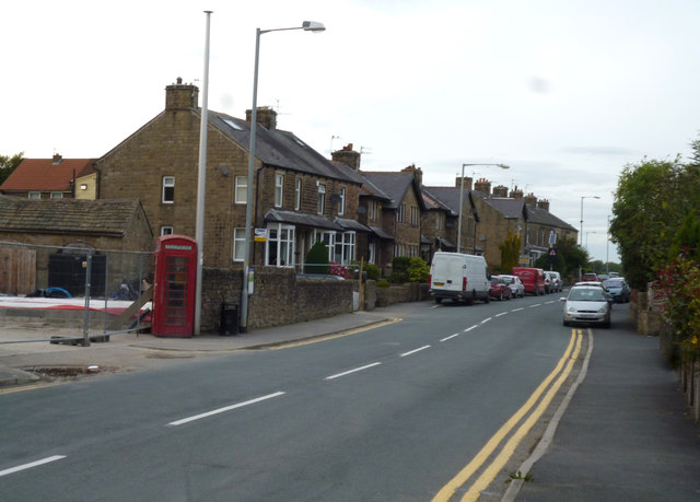
Image: © Dr Neil Clifton Taken: 5 Oct 2014
Looking north. This is part of the B6251. The houses on the left are odd numbers starting from 225. The ground behind the red telephone kiosk on the left was formerly used as a turning circle for buses, but is now being built on, just what will emerge I do not know. Further behind there, the former pub, the 'Foster's Arms', has now closed and has become a private house.
Images are licensed for reuse under creativecommons.org/licenses/by-sa/2.0
Image Location
Latitude
53.924198
Longitude
-2.193963