Remnants of a lost aerodrome
Introduction
The photograph on this page of Remnants of a lost aerodrome by Robert Struthers as part of the Geograph project.
The Geograph project started in 2005 with the aim of publishing, organising and preserving representative images for every square kilometre of Great Britain, Ireland and the Isle of Man.

There are currently over 7.5m images from over 14,400 individuals and you can help contribute to the project by visiting https://www.geograph.org.uk
Remnants of a lost aerodrome
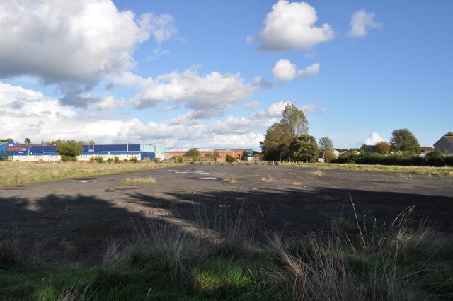
Image: © Robert Struthers Taken: 4 Oct 2014
RNAS Donibristle closed in 1959. Some of the buildings still survive, converted for use as business or industrial units, but gradually the old makes way for the new, and at some point all trace of the former air base will have gone. This stretch of tarmac is one of the few open spaces not to have been built on.
Images are licensed for reuse under creativecommons.org/licenses/by-sa/2.0
Image Location
Latitude
56.041097
Longitude
-3.352115