A8 Greenock
Introduction
The photograph on this page of A8 Greenock by Thomas Nugent as part of the Geograph project.
The Geograph project started in 2005 with the aim of publishing, organising and preserving representative images for every square kilometre of Great Britain, Ireland and the Isle of Man.

There are currently over 7.5m images from over 14,400 individuals and you can help contribute to the project by visiting https://www.geograph.org.uk
A8 Greenock
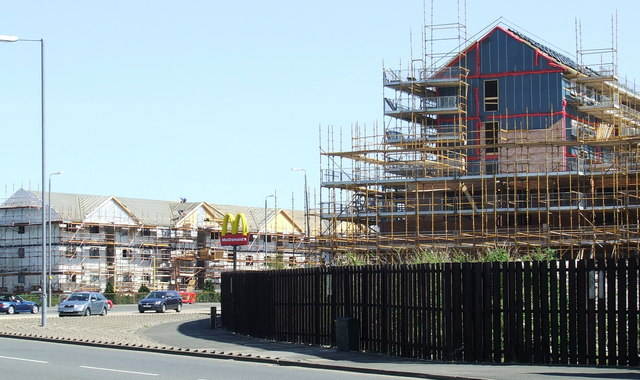
Image: © Thomas Nugent Taken: 30 Apr 2007
Blocks of flats and a fast food outlet have replaced shipyards and marine engineering works along this stretch of the A8 through Greenock's east end.
Images are licensed for reuse under creativecommons.org/licenses/by-sa/2.0
Image Location


Leaflet Map data © OpenStreetMap
Latitude
55.943925
Longitude
-4.735395