Road junction at top of Claypit Hill
Introduction
The photograph on this page of Road junction at top of Claypit Hill by Derek Harper as part of the Geograph project.
The Geograph project started in 2005 with the aim of publishing, organising and preserving representative images for every square kilometre of Great Britain, Ireland and the Isle of Man.

There are currently over 7.5m images from over 14,400 individuals and you can help contribute to the project by visiting https://www.geograph.org.uk
Road junction at top of Claypit Hill
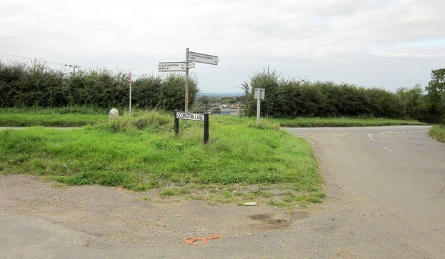
Image: © Derek Harper Taken: 27 Sep 2014
Claypit Hill is the road to the road, dropping towards Chipping Sodbury. The parish boundary between Dodington (left) and Sodbury, which has followed Dodington Lane (foreground), follows Claypit Hill. A glimpse of Yate through the gateway ahead.
Images are licensed for reuse under creativecommons.org/licenses/by-sa/2.0
Image Location
Latitude
51.526976
Longitude
-2.395058