The U1119 at Thurstonfield
Introduction
The photograph on this page of The U1119 at Thurstonfield by Rose and Trev Clough as part of the Geograph project.
The Geograph project started in 2005 with the aim of publishing, organising and preserving representative images for every square kilometre of Great Britain, Ireland and the Isle of Man.

There are currently over 7.5m images from over 14,400 individuals and you can help contribute to the project by visiting https://www.geograph.org.uk
The U1119 at Thurstonfield
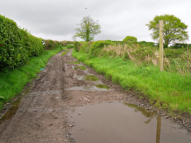
Image: © Rose and Trev Clough Taken: 10 May 2014
This looks like a bridleway or farm track, until you spot the road sign indicating that the national speed limit applies. It is an unsurfaced, unclassified single track road, the wooden signpost says 'Public Way - Burgh'. You could drive down there in an ordinary car, but if you met anything coming the other way somebody would have an awful lot of reversing to do.
Images are licensed for reuse under creativecommons.org/licenses/by-sa/2.0
Image Location


Leaflet Map data © OpenStreetMap
Latitude
54.900335
Longitude
-3.066748