Drive to Petyt House
Introduction
The photograph on this page of Drive to Petyt House by Robin Webster as part of the Geograph project.
The Geograph project started in 2005 with the aim of publishing, organising and preserving representative images for every square kilometre of Great Britain, Ireland and the Isle of Man.

There are currently over 7.5m images from over 14,400 individuals and you can help contribute to the project by visiting https://www.geograph.org.uk
Drive to Petyt House
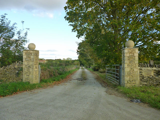
Image: © Robin Webster Taken: 3 Oct 2014
Not too sure what Petyt House is, and what relationship it now bears to Burford School, but it has a recently built rented house in its grounds.
Images are licensed for reuse under creativecommons.org/licenses/by-sa/2.0
Image Location
Latitude
51.802606
Longitude
-1.647979