Dry stone walling
Introduction
The photograph on this page of Dry stone walling by Robin Webster as part of the Geograph project.
The Geograph project started in 2005 with the aim of publishing, organising and preserving representative images for every square kilometre of Great Britain, Ireland and the Isle of Man.

There are currently over 7.5m images from over 14,400 individuals and you can help contribute to the project by visiting https://www.geograph.org.uk
Dry stone walling
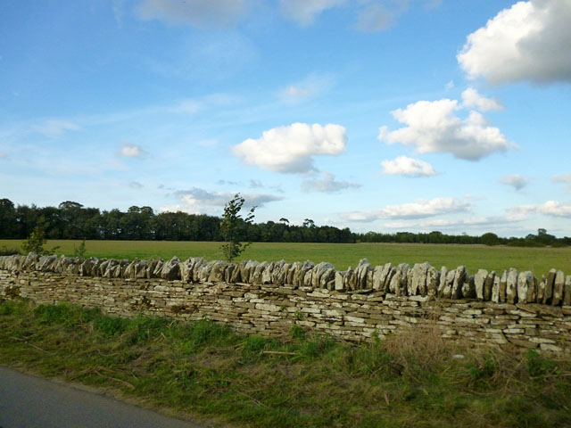
Image: © Robin Webster Taken: 3 Oct 2014
The local landowner is apparently very keen on this - there is a great length of apparently recently built or possibly repaired walling.
Images are licensed for reuse under creativecommons.org/licenses/by-sa/2.0
Image Location
Latitude
51.775133
Longitude
-1.661382