Goodrich Avenue, Caerphilly
Introduction
The photograph on this page of Goodrich Avenue, Caerphilly by Jaggery as part of the Geograph project.
The Geograph project started in 2005 with the aim of publishing, organising and preserving representative images for every square kilometre of Great Britain, Ireland and the Isle of Man.

There are currently over 7.5m images from over 14,400 individuals and you can help contribute to the project by visiting https://www.geograph.org.uk
Goodrich Avenue, Caerphilly
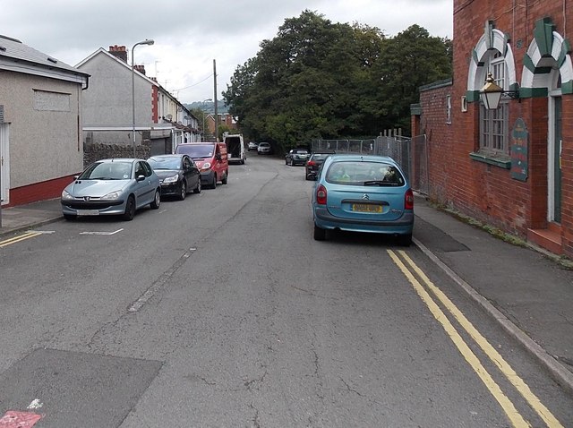
Image: © Jaggery Taken: 3 Oct 2014
Goodrich Avenue extends for about 100 metres from Van Road on this side to the south bank of Scouring Brook ahead. The derelict former The Goodrich pub is on the right. A notice in the doorway warns of a dangerous site. http://www.geograph.org.uk/photo/4191764
Images are licensed for reuse under creativecommons.org/licenses/by-sa/2.0
Image Location
Latitude
51.574534
Longitude
-3.210624