Freight loops at Beckingham
Introduction
The photograph on this page of Freight loops at Beckingham by Alan Murray-Rust as part of the Geograph project.
The Geograph project started in 2005 with the aim of publishing, organising and preserving representative images for every square kilometre of Great Britain, Ireland and the Isle of Man.

There are currently over 7.5m images from over 14,400 individuals and you can help contribute to the project by visiting https://www.geograph.org.uk
Freight loops at Beckingham
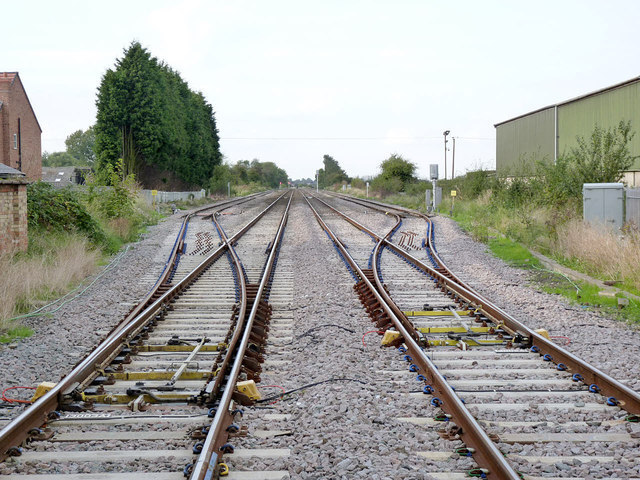
Image: © Alan Murray-Rust Taken: 28 Sep 2014
The line is part of the Great Northern and Great Eastern Railways' joint line between March and Doncaster via Spalding, Sleaford and Lincoln, providing relief capacity to the East Coast Main Line. Its use as such in the modern period has been recognised and significant investment is being made to improve signalling and capacity. These loops appear to have been installed during WW2 to enable slower freight trains to be passed, and this is clearly still considered important. The pointwork looks to have been recently renewed.
Images are licensed for reuse under creativecommons.org/licenses/by-sa/2.0
Image Location


Leaflet Map data © OpenStreetMap
Latitude
53.400184
Longitude
-0.820364