Path to Chipping Sodbury
Introduction
The photograph on this page of Path to Chipping Sodbury by Derek Harper as part of the Geograph project.
The Geograph project started in 2005 with the aim of publishing, organising and preserving representative images for every square kilometre of Great Britain, Ireland and the Isle of Man.

There are currently over 7.5m images from over 14,400 individuals and you can help contribute to the project by visiting https://www.geograph.org.uk
Path to Chipping Sodbury
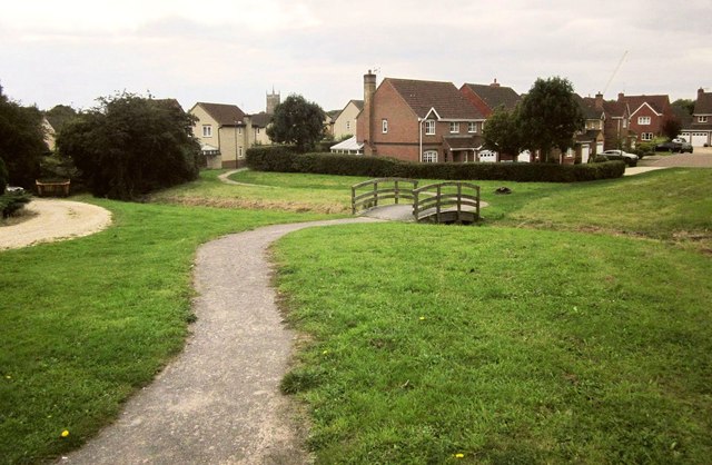
Image: © Derek Harper Taken: 27 Sep 2014
Crossing the footbridge shown from the other side in Image], this is footpath LSO/10, and the central houses are in Caroline Close, in Image
Images are licensed for reuse under creativecommons.org/licenses/by-sa/2.0
Image Location
Latitude
51.542096
Longitude
-2.390719