Knabbygates
Introduction
The photograph on this page of Knabbygates by Anne Burgess as part of the Geograph project.
The Geograph project started in 2005 with the aim of publishing, organising and preserving representative images for every square kilometre of Great Britain, Ireland and the Isle of Man.

There are currently over 7.5m images from over 14,400 individuals and you can help contribute to the project by visiting https://www.geograph.org.uk
Knabbygates
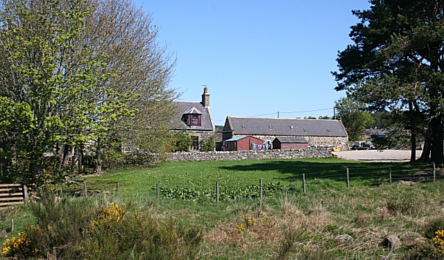
Image: © Anne Burgess Taken: 30 Apr 2007
According to the 1:25,000 map the north-south gridline runs through the middle of this farm.
Images are licensed for reuse under creativecommons.org/licenses/by-sa/2.0
Image Location


Leaflet Map data © OpenStreetMap
Latitude
57.557465
Longitude
-2.753357