Field by Saltmoors Ditch
Introduction
The photograph on this page of Field by Saltmoors Ditch by Derek Harper as part of the Geograph project.
The Geograph project started in 2005 with the aim of publishing, organising and preserving representative images for every square kilometre of Great Britain, Ireland and the Isle of Man.

There are currently over 7.5m images from over 14,400 individuals and you can help contribute to the project by visiting https://www.geograph.org.uk
Field by Saltmoors Ditch
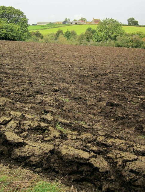
Image: © Derek Harper Taken: 27 Sep 2014
Looking from footpath LHA/37 across a ploughed field and across the valley of Saltmoors Ditch to Chaselane Farm. The wood by the stream is Sturt Brake.
Images are licensed for reuse under creativecommons.org/licenses/by-sa/2.0
Image Location
Latitude
51.596535
Longitude
-2.378049