Churchyard wall, Sturton le Steeple
Introduction
The photograph on this page of Churchyard wall, Sturton le Steeple by Alan Murray-Rust as part of the Geograph project.
The Geograph project started in 2005 with the aim of publishing, organising and preserving representative images for every square kilometre of Great Britain, Ireland and the Isle of Man.

There are currently over 7.5m images from over 14,400 individuals and you can help contribute to the project by visiting https://www.geograph.org.uk
Churchyard wall, Sturton le Steeple
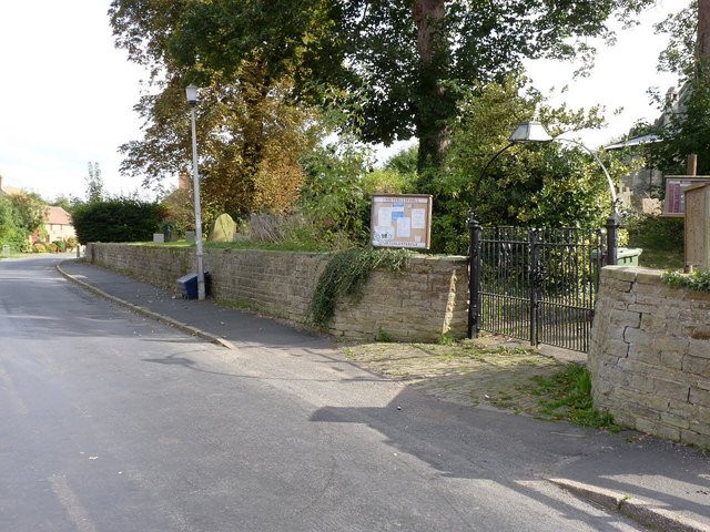
Image: © Alan Murray-Rust Taken: 28 Sep 2014
19th century dressed stone with ashlar coping and wrought iron gates with overthrow and lamp remains. Listed Grade II for group value.
Images are licensed for reuse under creativecommons.org/licenses/by-sa/2.0
Image Location
Latitude
53.346228
Longitude
-0.818249